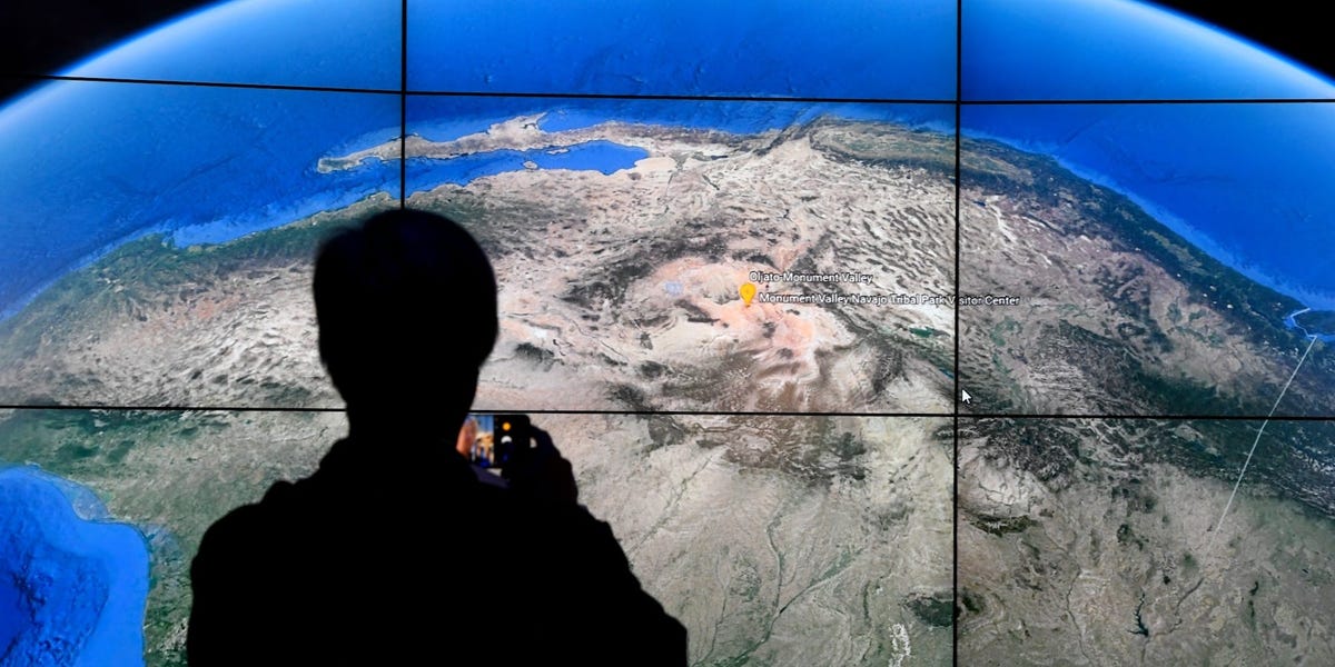
Google Earth is a virtual, three-dimensional globe developed by Google that uses satellite images, topographical data, aerial photography, and more to create a clear, detailed picture of our planet.While the images are often updated frequently, Google doesn’t capture them in real time. (For real-time satellite images of the Earth, you can visit NASA Worldview.)With Google Earth, users can create custom maps that incorporate data and statistics from other sources, like population, tree cover, temperature, and more.Even if you aren’t geographically inclined, Google Earth allows you to travel the world from home, touring interactive maps of anything from lion habitats to underwater landscapes in the ocean to buildings constructed to mimic the patterns of nature.Like Google Maps, You can access Google Earth and its mapping tools on your desktop or mobile device, and it’s totally free to use.
In 2021, Google CEO Sundar Pichai announced a new “Timelapse” feature for Google Earth, which compiled millions of satellite photos over four decades to demonstrate the “rapid environmental change” the planet has endured.Can I use Google Earth without downloading it?If you’re just browsing cool locations around the world or zooming in on your home and neighborhood, the web version of Google Earth works well. No download required!Google Earth web was initially only available for use on Chrome, but as of 2020 is supported by Firefox, Edge, and Opera browsers, too.But if you’re looking for more advanced features, like geographic information system (GIS) data and the ability to view older versions of images to view how a place has changed over time, you may want to download Google Earth Pro on your desktop or laptop.What do people use Google Earth for?
Scientists have used Google Earth to document geographical changes and city expansions over time.
Timothy A. Clary/Getty Images
Google Earth users, including non-profit organizations, scientists and geographers, and map lovers, have used the program to map sea level rise in cities around the world, geographical changes in indigenous languages, the change in forest cover over time, air pollution in London, the expansion of urban centers around the world, and much more.People also use Google Earth every day to view locations that pique their curiosity — their houses, travel destinations, or global landmarks. Unlike Google Street View, which shows photos taken by cars, Google Earth shows satellite images from above.Together with Google Maps, Google Images, and Google Earth, people can search and view just about any location on earth.In 2014, a German company that had created similar 3D mapping software in the 1990s filed a lawsuit against Google claiming the Silicon Valley giant had infringed on its patent rights. Two years later, a jury in the United States District Court for the District of Delaware found in favor of Google. The case was dramatized in the 2021 Netflix series “The Billion Dollar Code.”In February 2024, in partnership with the Environmental Defense Fund, Google announced it would use Google Earth to map methane leaks around the world and make that information freely available to the public.Google will use data from MethaneSAT, a new satellite that aims to locate the sources of methane leaks that are contributing to climate change.


